01 / YOUR WATERFRONT LOCATION
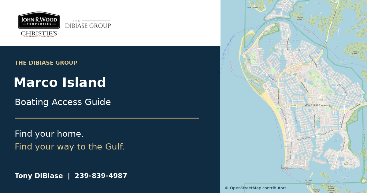
Marco Island
Canal neighborhoods, bays and Gulf-side passes. Explore 24 geographic references before you compare an address.
Explore Marco Island →
A beautiful waterfront home should fit the way you boat. Explore the canals, understand the bridges, and compare the route before you fall in love with the address.
Have a property in mind? Ask Tony ↗Get to know Marco Island, Sanibel Island, Cape Coral, Fort Myers, North Fort Myers and Naples before choosing your next home.
One packet. Six area sheets. A seven-page PDF to read, download or share.

Planning a move to Florida? Get Tony’s free checklist for residency, ownership and homestead filing.
Explore the free guide →Canal neighborhoods, bays and Gulf-side passes. Explore 24 geographic references before you compare an address.
Explore Marco Island →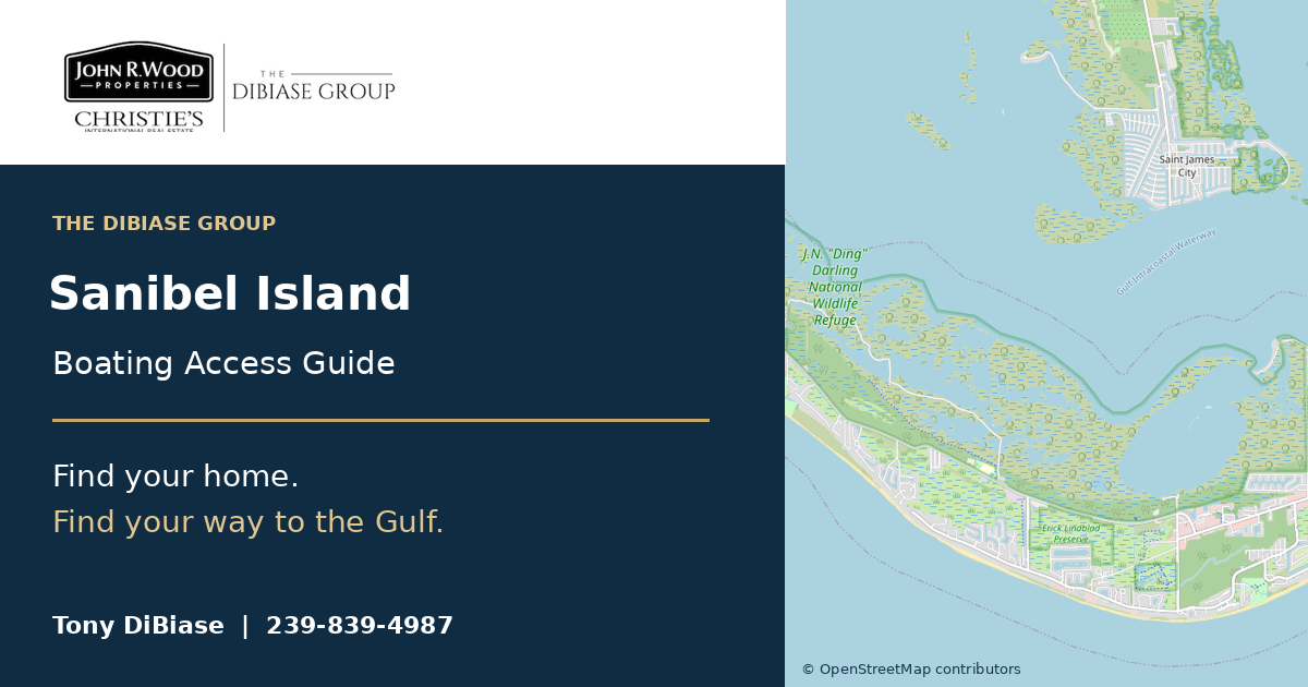
Explore east-end canals, bay-side neighborhoods and west-end waterways, with the full route in mind.
Explore Sanibel Island →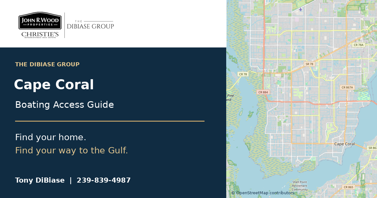
Explore the canal grid, bridge inventory and mapped route previews. Confirm your dock’s actual connection.
Explore Cape Coral →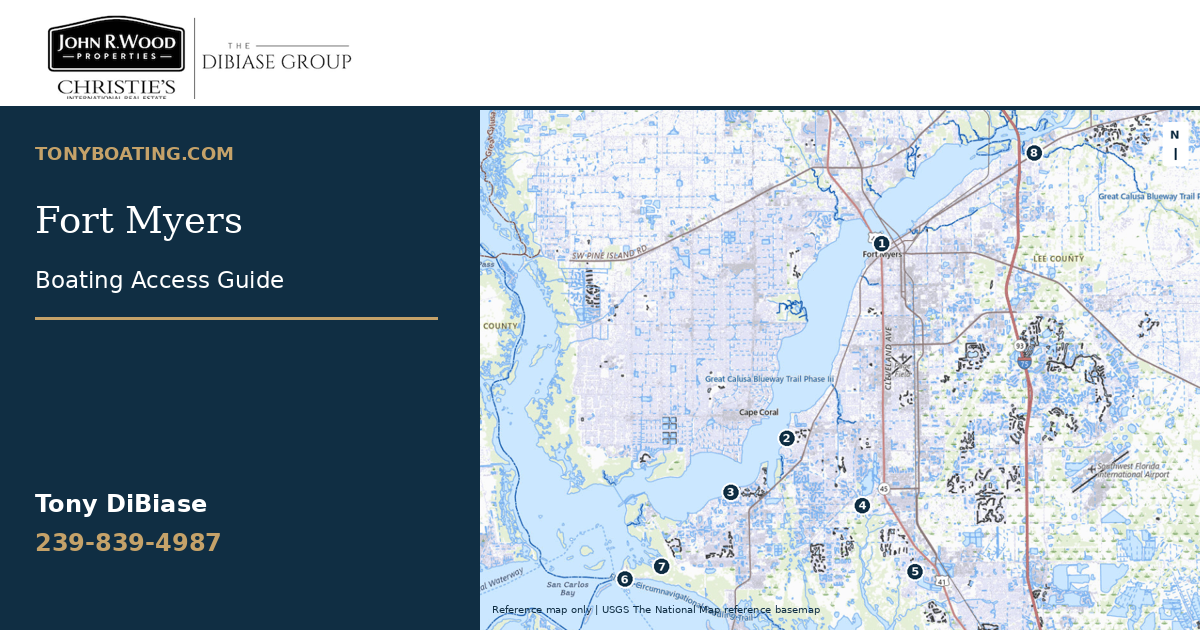
Explore the Fort Myers side of the Caloosahatchee, Iona and Punta Rassa, plus creek-side waterfront areas. This guide includes Fort Myers mailing areas in unincorporated Lee County; it is not a city-boundary map.
Explore Fort Myers →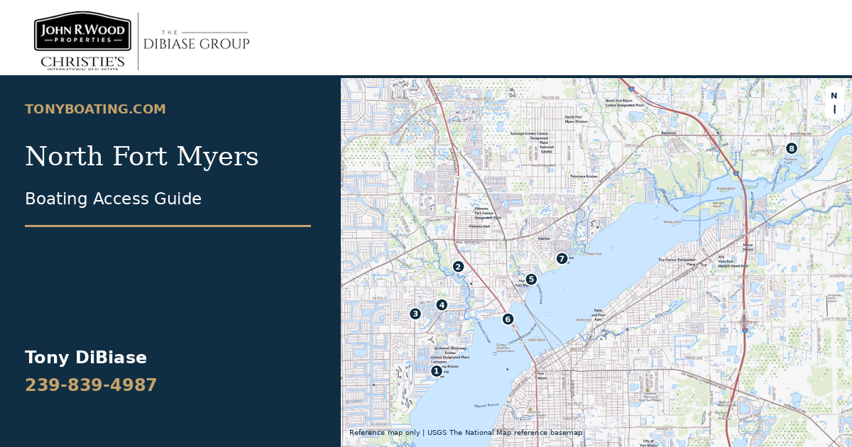
Explore the north-bank Caloosahatchee waterfront, Hancock Creek, Powell Creek and the Thompson Cutoff area. Reference points identify waterways and access contexts, not uniform boating-access neighborhoods.
Explore North Fort Myers →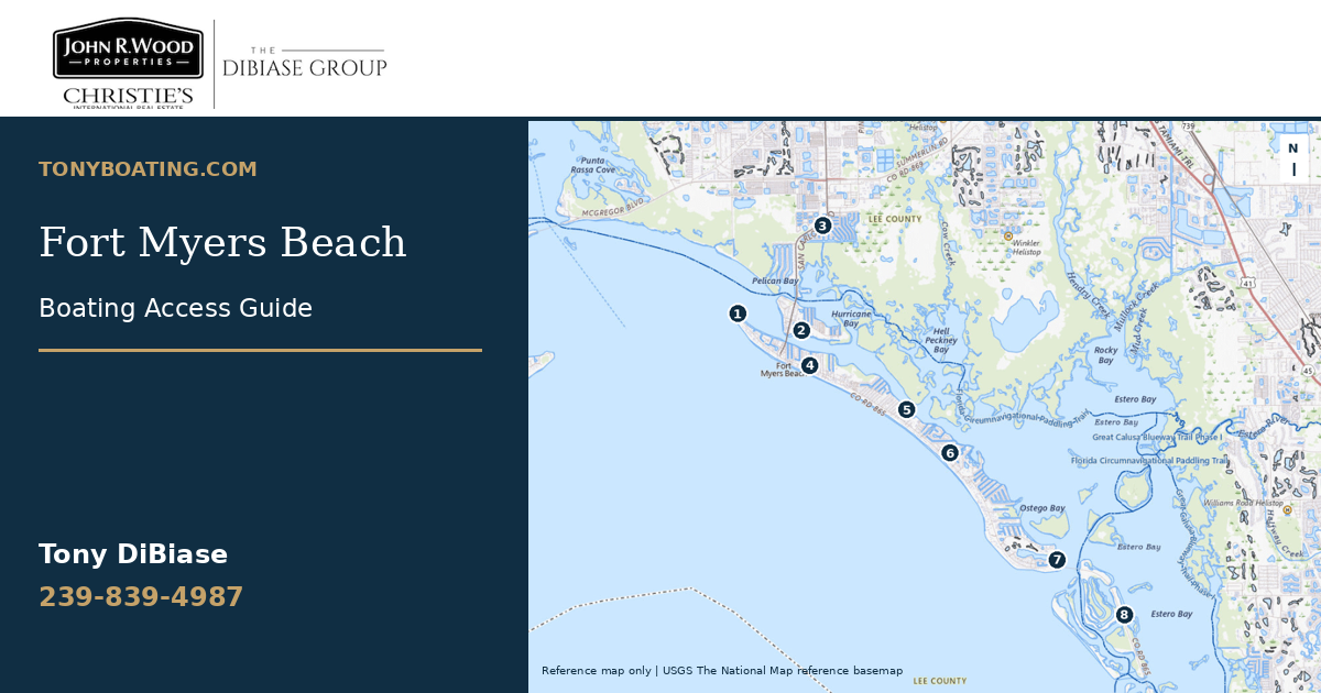
Compare Estero Island’s back-bay canal neighborhoods, San Carlos Island waterfront and nearby pass approaches before you compare a waterfront address.
Explore Fort Myers Beach →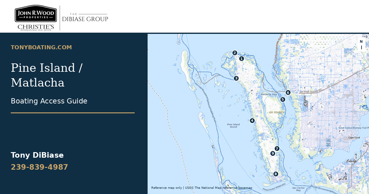
Explore Bokeelia, Pineland, St. James City and Matlacha, with geographic references spanning Pine Island Sound, Jug Creek, Matlacha Pass and southern canal areas.
Explore Pine Island / Matlacha →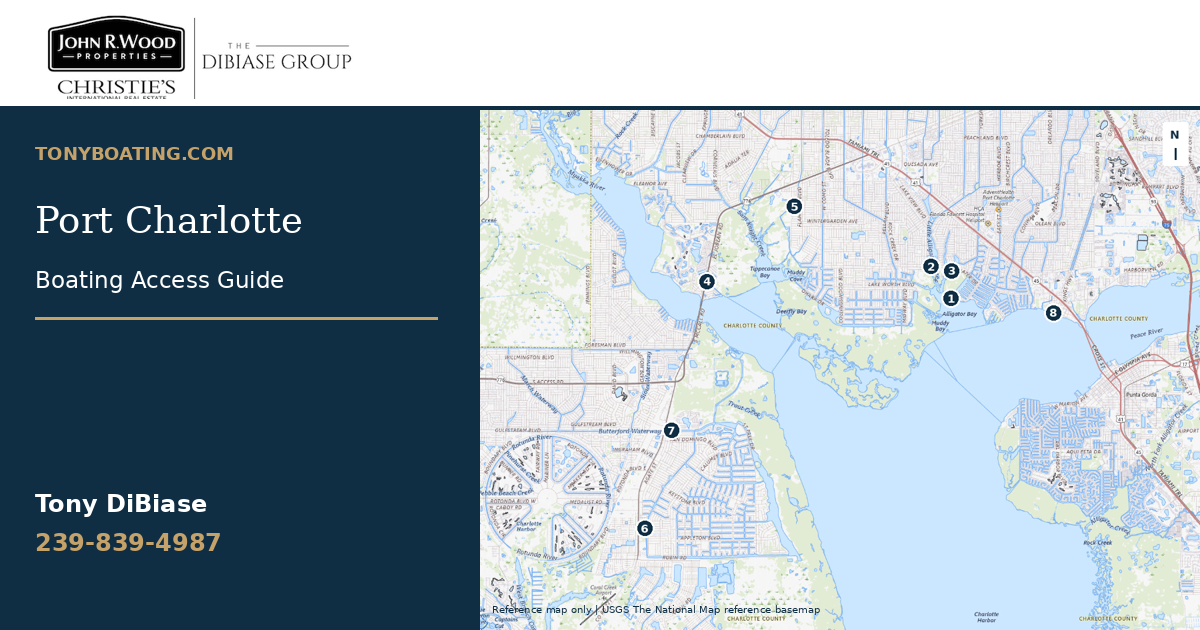
Explore Charlotte Harbor, Myakka-side waterways and the South Gulf Cove canal-system context before comparing a waterfront address.
Explore Port Charlotte →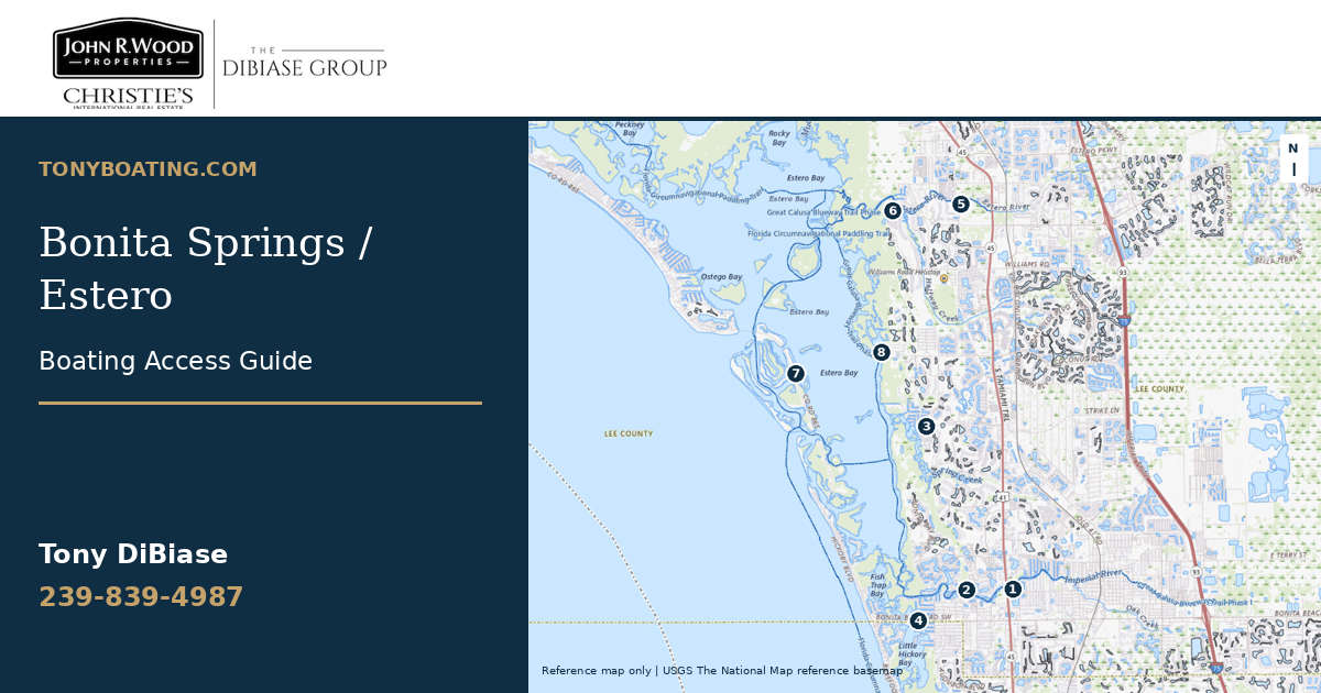
Compare Imperial River, Estero River, Little Hickory Bay and Estero Bay-side waterfront locations with your boat and destination in mind.
Explore Bonita Springs / Estero →Start with the questions that determine whether the waterfront works for you.
Compare your boat’s height and draft against measurements you’ve verified for the complete route. Browse published bridge references.
Check the measurements →Switch map layers, explore bridge locations, and try a mapped canal-route preview in Cape Coral. Trace a route manually in the island guides.
Explore bridges & canals →Take a practical checklist covering access, clearances, depth, seawalls, lifts, insurance and the documents to request.
Open the buyer checklist →I’m Tony DiBiase, Realtor and International Waterfront Specialist with The DiBiase Group at John R. Wood Properties | Christie’s International Real Estate. I created these guides to help you ask better questions about the waterfront homes you’re considering.
Send me the address, your boat’s dimensions and where you want to go. Let’s review the property’s boating setup together.
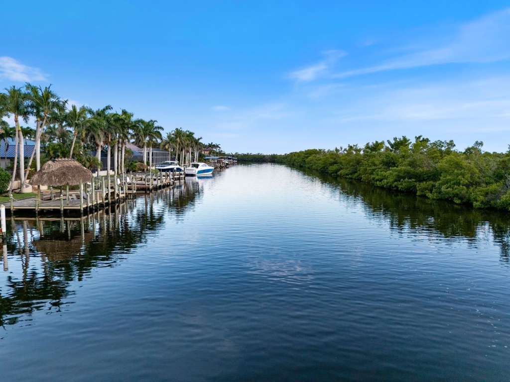
Explore the waterfront lifestyle, then check the complete boating route.
No. A water view, a canal-side lot and a property with usable private dock access are different things. Confirm the parcel’s rights, the dock, the connected waterway and the full route before relying on a listing description.
No. Straight-line distance does not establish a canal connection. A mapped route preview follows available map geometry; a manual estimate follows the water route you trace. Both need review for missing connections, restrictions and real conditions.
No. The fit tool compares entered measurements, and the route tools support property comparisons. Confirm current bridge and overhead clearance, low-water depth, tides, speed restrictions and conditions with appropriate local and marine sources.
The property address, boat make/model, overall length and beam, loaded draft, height above the waterline, and your usual destination. Prepare your property review request →